The Bridge on Tara
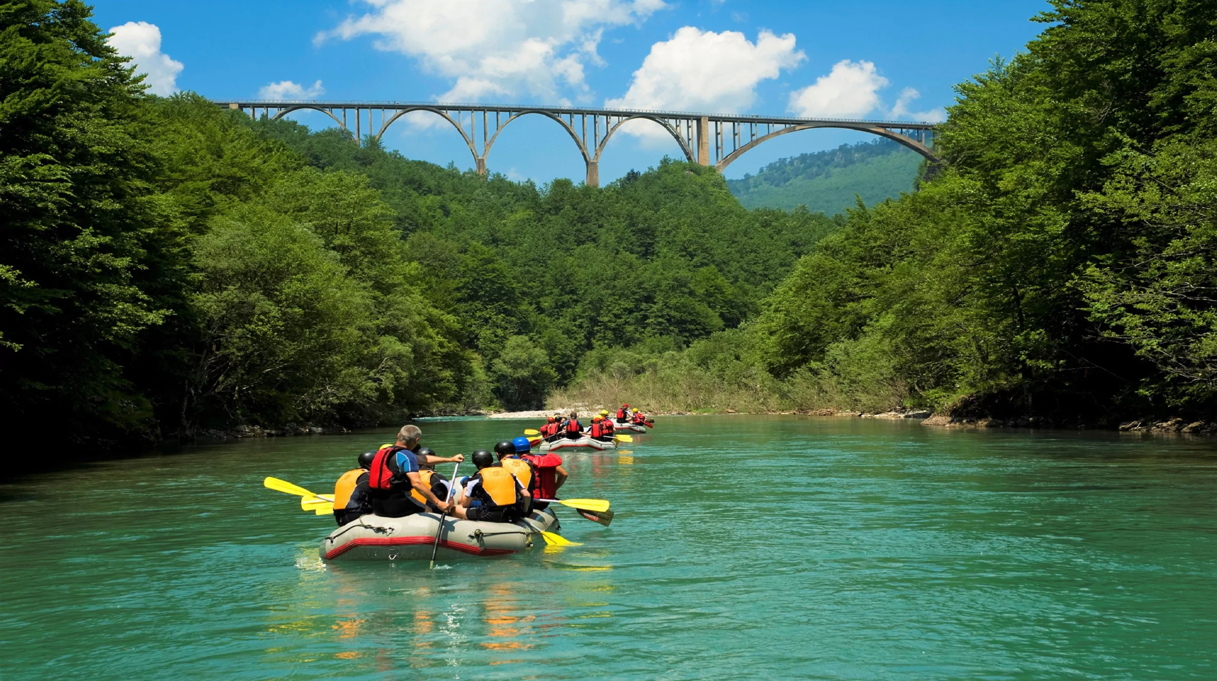
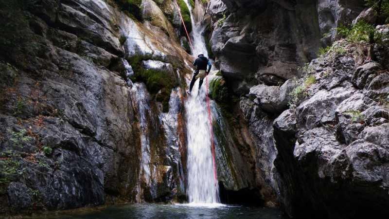
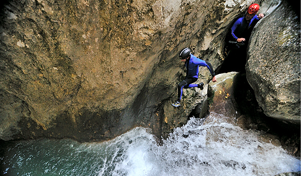
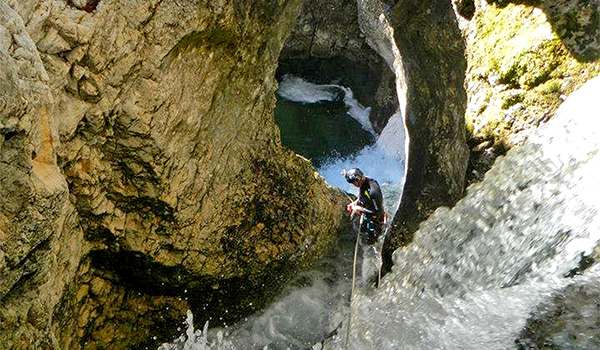
Drifting through Tears of Europe Rapids is a once-in-a-lifetime adventure, as you sweep through the deepest canyon in Europe and the second deepest in the world.
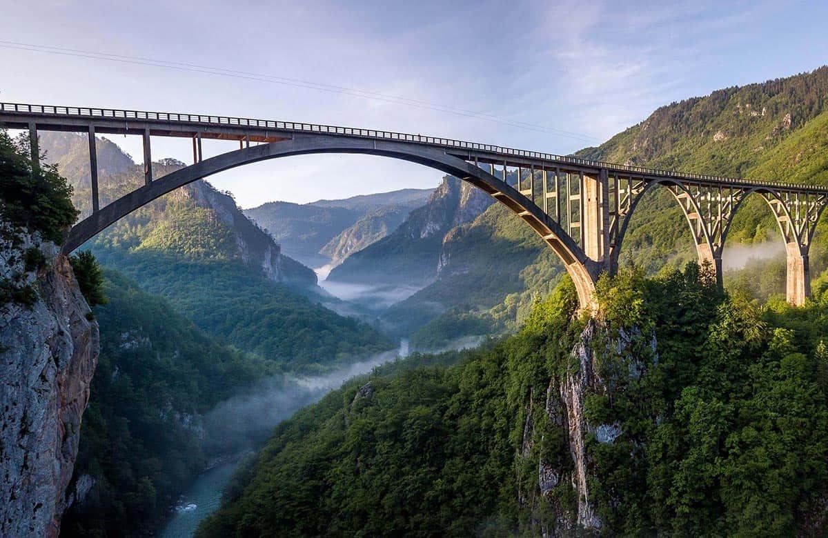
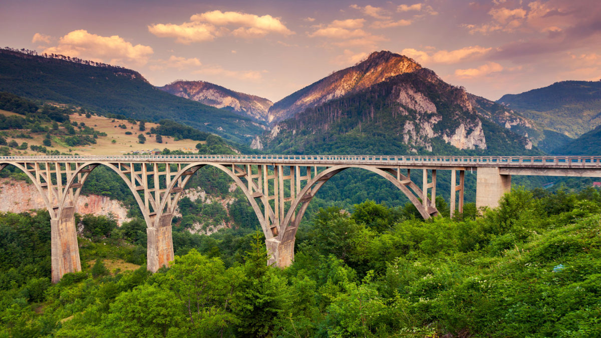
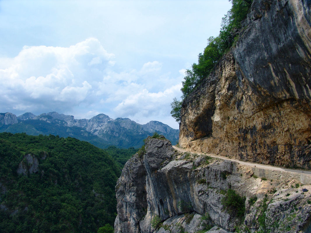
The River Tara, which flows partly through the Durmitor National Park, is graced by the imposing Đurđevića Bridge, which provides a unique experience.
The bridge on Đurdjevica Tara, or simply the Bridge on Tara is one of the most visited and popular attractions in Montenegro, where thousands of tourists come every year to visit this majestic combination of nature and architecture. Located on the main road Pljevlja-Žabljak, this is a bridge that with its architecture and dimensions is one of the largest and most beautiful traffic facilities in the world. According to the Bright side portal, it was named among the 20 most beautiful bridges in the world, while the British magazine “Times” included it in the top 10 attractions to visit.
Built, in the period from 1938 to 1940, it was the largest reinforced concrete road bridge in Europe at the time. The bridge was originally built to connect the remote parts of the Durmitor region with the rest of the Kingdom of Yugoslavia. The task was to connect almost 400 metres of two coasts of the river Tara, which was extremely difficult given the need for construction materials and aids at the time. Still, this hasnt stopped its designer Mijat Trojanovic, to construct the largest wooden scaffolding whose dimensions have not been surpassed to this day. The height of the scaffolding of the main arch was 141 meters, while 650 cubic meters of timber were used for its construction. The wooden parts of the scaffolding were hand-hewn from spruce, cut down in a nearby forest. According to available data, 5,320 m3 of non-reinforced and 3,640 m3 of reinforced concrete were installed in the bridge.
Canyon Nevidio
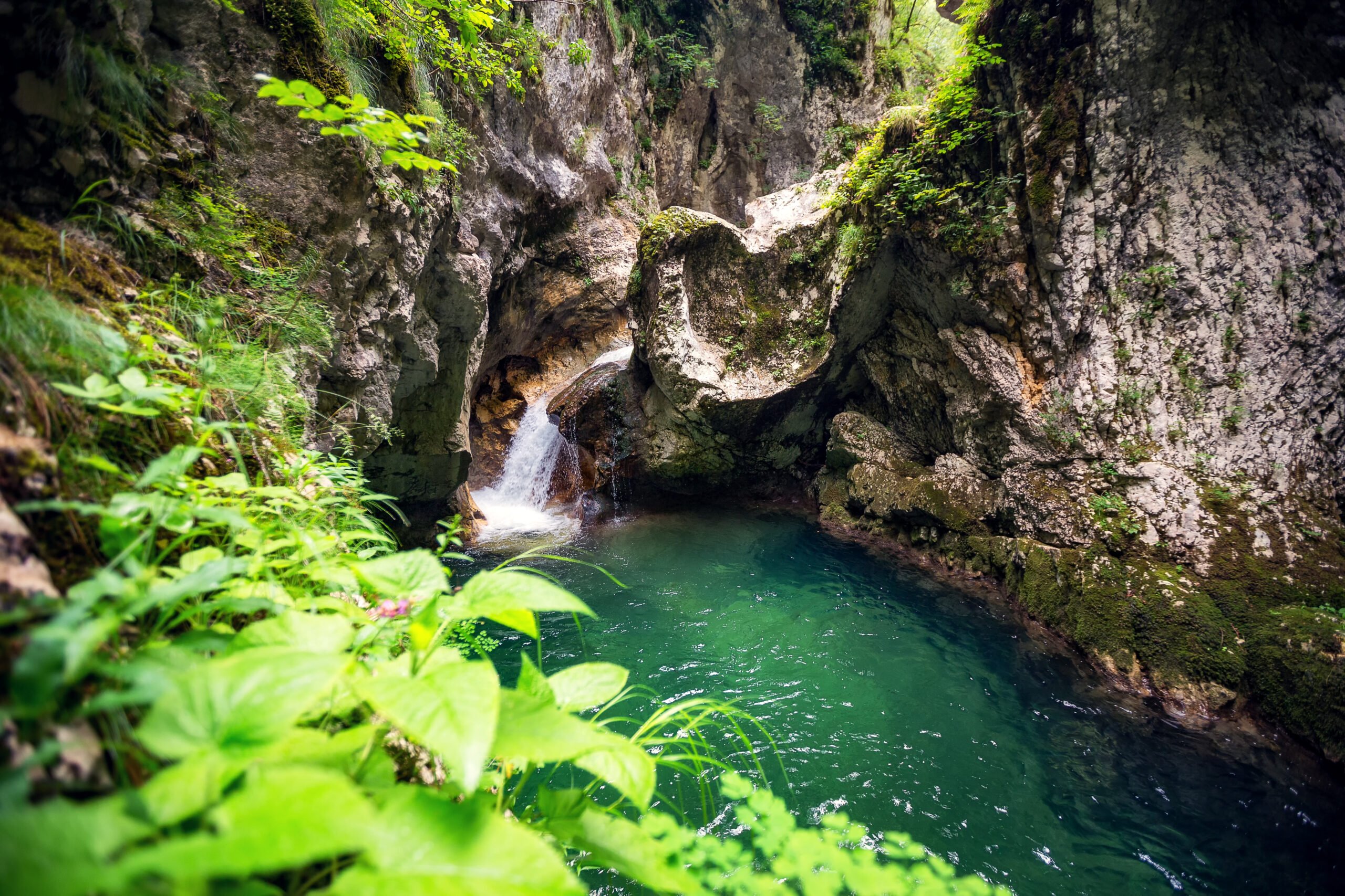
Canyon Nevidio is part of Mala Komarnica, river, which rises at the pedestal of the southern part of Durmitor, precisely in Dobri Do. Delving deep passes between Boljske grede (2091 m.e.) and Lojanik (2091 m.e.) to reappear in a quiet river valley as a permanent river. Surrounding the entrance is one of the most beautiful in the Durmitor area. The beauty of this area makes the village Poscenje with two glacial lakes, periodic waterfall Skakavica that the seventy-meter high walls wastes water river Grabovica which flows into the Komarnica.
At the end of the valley at an altitude of 935 m begins canyon Nevidio or Nevidjbog as he called the inhabitants of this region. With the right bears this name because the tannery once lost in a strange carved entrance and becomes invisible to the human eye.
Tucked away and hidden in the inaccessible terrain has caused attention and curiosity, but there has been little organized effort to get to know and explore. The first serious but unsuccessful attempts were carried out in 1957. and in 1964. year. There were endless strange and fantastic stories of the last unconquered canyon Europe. To August in 1965. year. when members P.S.D. “Javorak” from Niksic, though with scant equipment, passed through a canyon and first introduced the world long hidden, wild and stunning beauty.
Lukavica
Lukavica is located in the northeastern part of the municipality of Niksic, in the central part of Montenegro. This space is special and very impressive precisely because of its natural beauty. There are about 365 springs on Lukavica, but also diverse plants and animals. All this has contributed to making this area one of the most important plant habitats in Europe. The marked trails are perfect for lovers of mountain biking or recreational hiking. Lukavica, together with Mali and Veliki zurim, but also Kapetanov Lake, make this landscape unrealistically beautiful.
Captains Lake
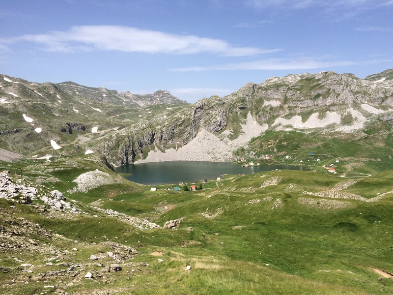
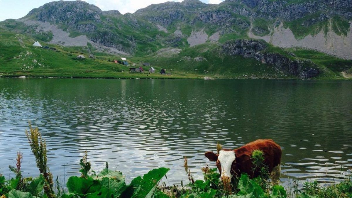
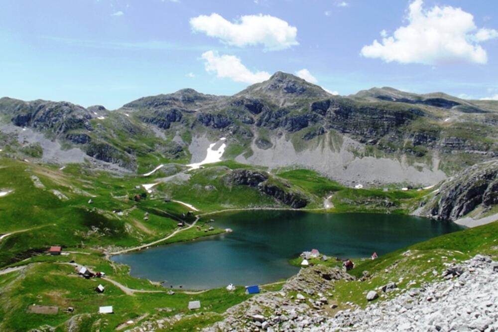
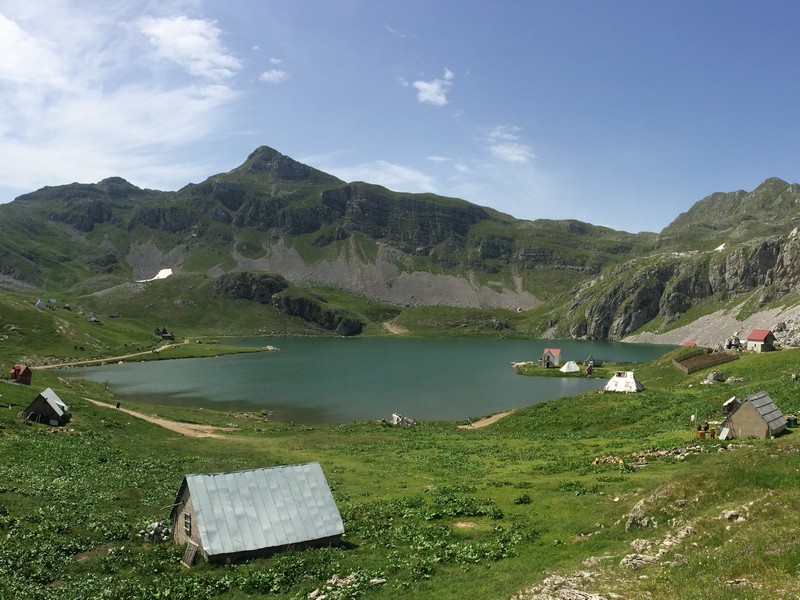
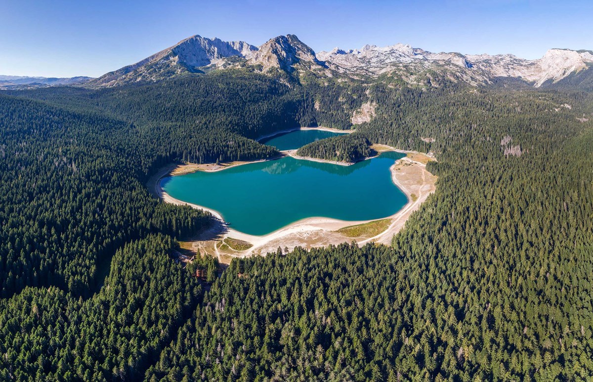
It is situated at an altitude of 1678, according to the origin is glacial lake, its length is 480 m, width 330 m and the maximum depth is 37 m.
Clear, green water and the reflection of the limestone rocks captivate visitors and it is increasingly becoming a favorite camping place for mountaineers and fishermen. You can go to the lake from the direction of Niksic over the mine “Zagrad” Luka Bojovića, Bar Bojovića and Nikšin Kiljan. The trip takes an hour and fifteen minutes. The road is paved until Luka Bojovića, further it is covered by pebbles. With careful driving the lake reach also the passenger cars. The other way to the lake, Velji Duboki is reserved only for the most powerful terrain vehicles.
According to the legend, Captain Musović from Niksic had on the place of today’s lake pasture and often remained in it, enjoying the beauty of this place. Over his pasture, in the mountainous rocks, there was a spring, whose water fairies used for bathing, and to restore their strength. Every evening fairies gathered at the spring and secretly bathed hidden form men and drank clear spring water. When they wanted to go, before dawn, they closed the spring till the next night and new gathering.
One night a fairy, that went last, forgot to close the spring, whose water flooded the captain Musović’s pasture and the surrounding valleys. Then the fairies moved the spring lower, under the pasture so that the spring could supplied the newly formed lake with the water. The Captain lake was develop with the negligence of the fairies or with the imagination of nature, in whose 35-meter-deep water are now enjoying many tourists, that the road takes to this popular meeting place for hikers and fishermen. The lake is located at an altitude of 1,678 meters.
Krnovo
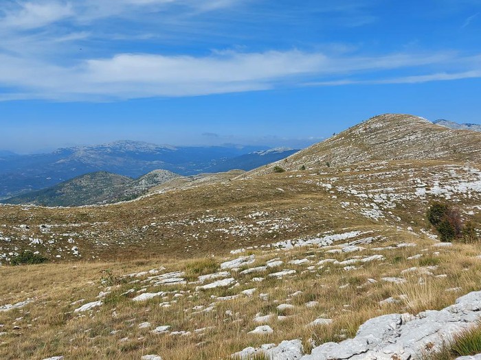
Krnovo is a mountain plateau located in the central part of Montenegro, about 20 kilometres away from Nikšić, and 50 km north of the capital Podgorica. The average height of this plateau is 1500 m and because of its appearance and climate, many call it the ‘Montenegrin Tibet’.
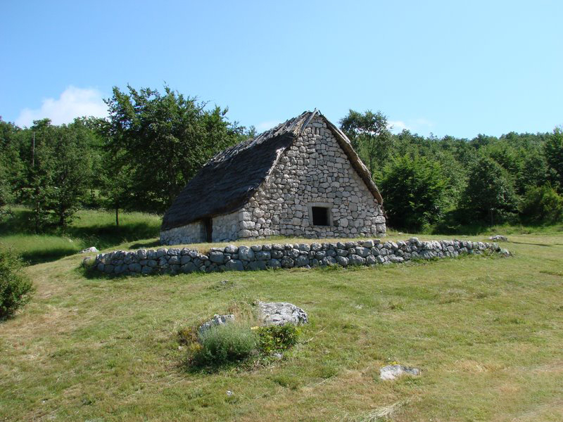
The Krnovo Plateau is widely known for its numerous katuns and flocks of sheep in the past. It is even more famous for its strong winds and blizzards that took many lives and intimidated occasional travellers. The average annual temperature in Krnovo is only 5 degrees Celsius.
Krnovo is a sparsely populated area, mainly consisting of agricultural land that is cultivated from spring to autumn and the number of cattle breeders have also increased recently due to the ecological conditions provided by mountain pastures.
Due to the proximity of the Durmitor National Park and due to its wild beauty, Krnovo is becoming an increasingly desirable tourist destination for guests not only from Montenegro but also from the surrounding countries.
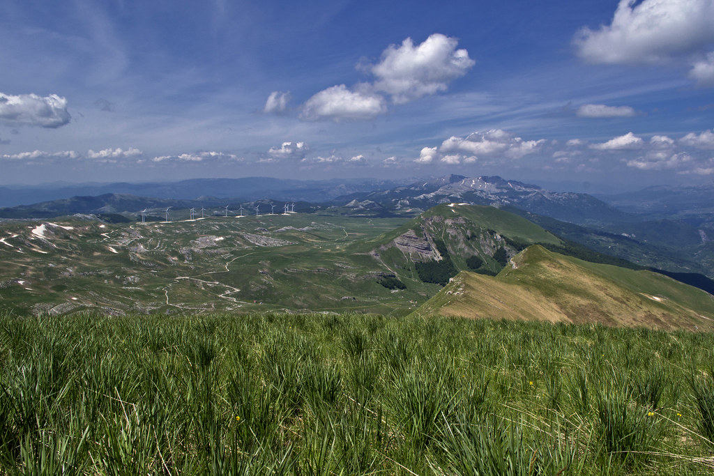
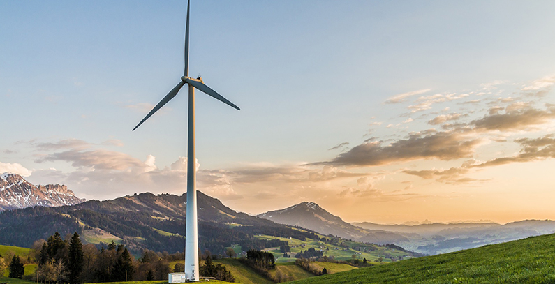
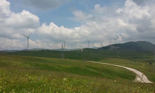
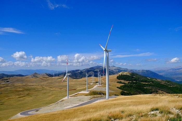
Krnovo is a place where 26 wind farms are located since 2016, which provide electricity to more than 50.000 households. The installation of the windfarms has increasingly contributed to the popularity of the location, as many people still come to see these grandiose objects.
Žurim
The access road to Žurim leads from Nikšić through Oblatni, Zagrad, hill Kutsko, Konjski and Bare Bojovića, in a total length of 28 km. The road is asphalted along its full length; it is in good condition, and quite spacious all the way up to the coal mining site Kutsko brdo.
Bare Bojovića and Lukavica including Žurim are rated among the most beautiful landscapes of Montenegro!
The trail begins after the last katun huts beneath Mali Zurim, on its southern side, near the spring called Turska kamenica. Clearly visible shepherd path leads you through the dunes to the fold between Mali Zurim and Ilija’s peak. Going along grassy surfaces, slightly upward, the trail further continues to the left arriving to the second fold towards Veliki Žurim, whereby the peak Mali Žurim will be accessed from its back side in relation to the starting position. Once you arrive to the fold, the peak, which is grassy and in the form of a pile with a stone crown on the top, will be clearly visible in front of you — in the direction of the south. It’s also the steepest part of the trail. Following the grassy part of the trail leading to the peak you will soon arrive to the stone obstacles spreading for about ten meters. This section of the trail should be passed with extreme caution (!). The final section of the trail after the stone obstacle is grassy, narrow and steep but safe. The peak itself is also narrow but safe. It is not recommended to approach its edges, especially when humidity is high.
The ascent to Mali Žurim is a true mountaineering experience!
Ostrog Monastery
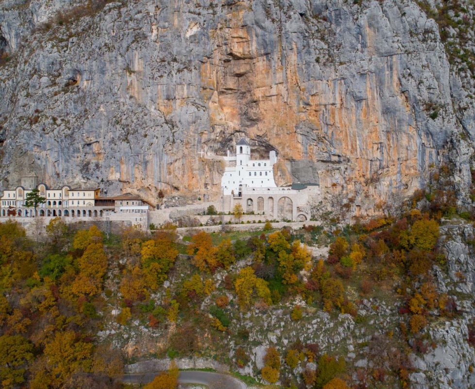
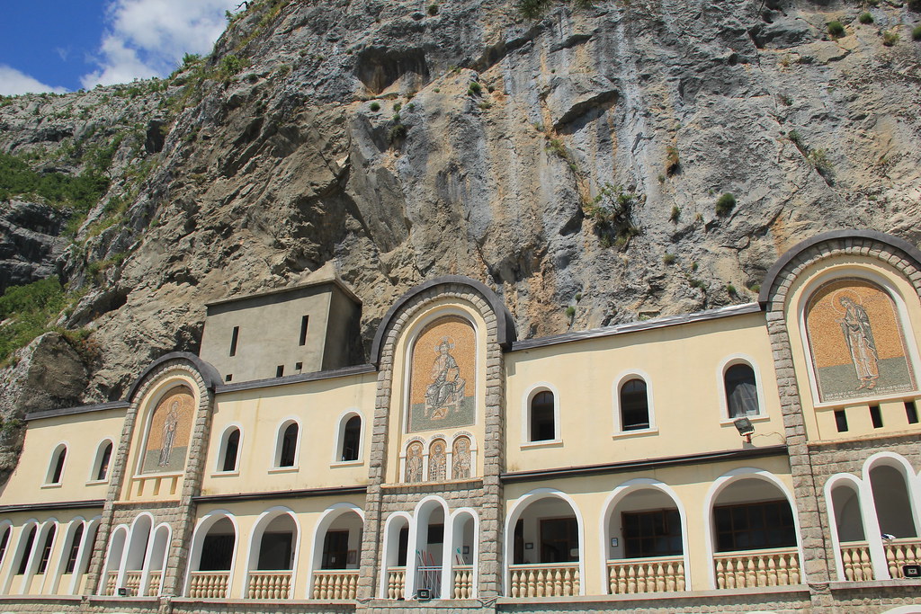
Ostrog Monastery is one of the most revered religious sites in all of the former Yugoslav states. It’s visited by up to a million tourists and pilgrims every year. It’s also revered and visited by Orthodox Christians, Roman Catholics and Muslims.
We took a trip up here in June and it was the perfect weather to see this marvel of human dedication and engineering. The sun was shining, the flowers were blooming and we enjoyed the mountain air.
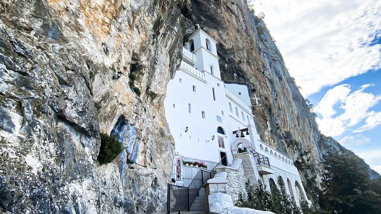
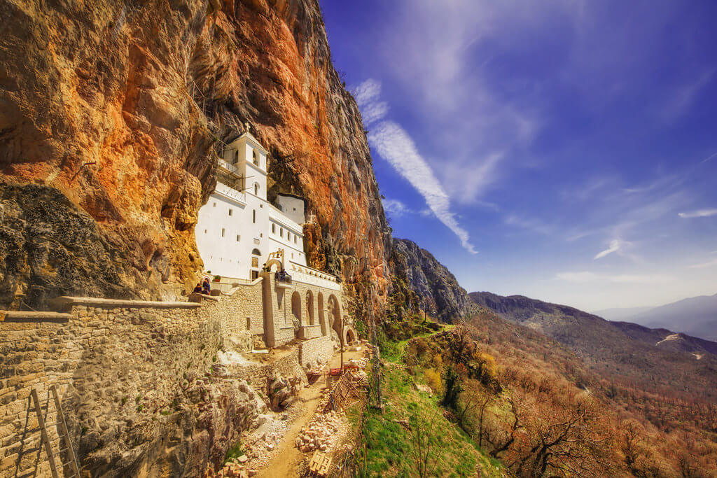
From afar, Ostrog looks like it defies gravity. It’s built right into a sheer cliff face way above the plains below. You can see the white of the building shining like a beacon against the dark rock from miles away.
There are two parts to the monastery: the upper and lower monasteries. We parked at the lower monastery and followed a lovely path through the woods for about 45 minutes to the upper monastery. If it’s hot or you’re not up for the hike, you can park further up, but there’s still a 10 minute walk to the top. If you have elderly or disabled people with you who can’t walk the last part, you can drive to the upper monastery (the part in the cliff that is the main attraction).
Although Ostrog Monastery is a tourist attraction, it’s very much a place of worship and has a sombre air. The hushed tone of the place is perfect for allowing you to appreciate the views over the plains and the dedication it must have taken to construct this church in the side of a cliff.
Dažnik
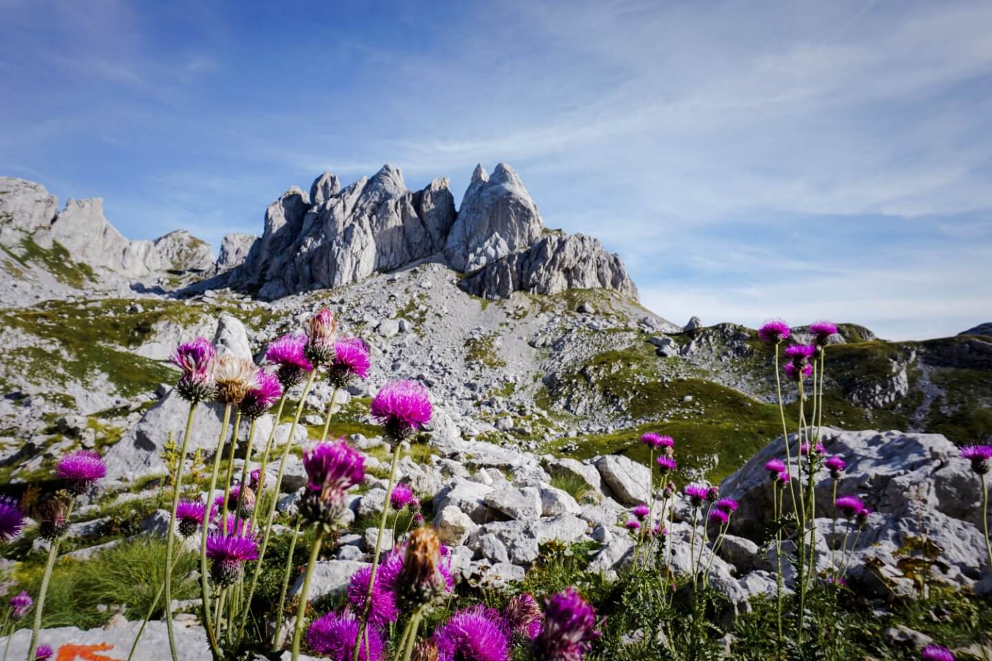
The Dazhnik Peak in Montenegro is one of the most breathtaking natural wonders in the Balkans. Located in the Durmitor National Park, this impressive peak is an incredible 1.625 meters high and is best known for its breathtaking alpine landscape.
The summit of Dazhnik Peak provides stunning views of the surrounding valleys and mountains. From here, adventurers can take in the almost turquoise glacial lakes, rocky cliffs, and lush valleys of Durmitor. The summit isn’t easy to get to, but those who brave the difficult climb up a challenging alpine trail are rewarded with breathtaking panoramic views of the surrounding valleys and mountains.
The best way to get to Dazhnik Peak is by taking the mountain pass from Zabljak over the impressive Sinjavina peak to the Dazhnik peak. The trip is fairly long, but well worth it – the trail is incredibly beautiful and the views of the surrounding mountains are breathtaking. At the summit of the peak, visitors can enjoy a picnic or explore the surrounding trails. No Montenegro adventure is complete without a trip to the majestic Dazhnik Peak.
With its impressive alpine trails and stunning views of the surrounding valleys and mountains, the Dazhnik Peak is an experience unlike any other.
Vojnik
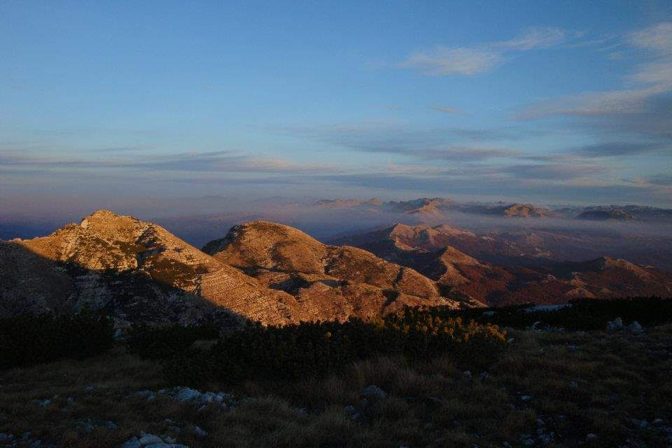
Vojnik is a mountain range located between the city of Nikšić and towns Šavnik and Plužine in western Montenegro. The name of the mountains means “soldier” in Montenegrin language. The highest point of Vojnik is the eponymous peak which is 1,998 m (6,555 ft) high.
Vojnik mountain range is approximately 17 kilometres long and its maximum width is 8 kilometres. It covers a total area of 138 square kilometres, or approximately 1% of the entire territory of Montenegro, and has 48 peaks higher than 1,500 meters.Vojnik is separated from the surrounding Montenegrin mountains (Maglić, Volujak, Bioč, Durmitor and Morača mountains) by highlands or deep river canyons.
Vojnik mountain with its wider mountain area spreads north of Nikšić polje, west of the Krnovo plateau and the eponymous mountain pass, east of Javorak forested mountain area with Javorak mountain pass, and south of Komarnica [sr] and Bukovica river canyons. The central part of the mountain is 20 kilometres north of the city of Nikšić and dominates the city’s northern horizon.
The geological composition of Vojnik is similar to that of neighbouring mountains, Maganik, Golija and Prekornica. It is predominantly made of limestone, and rich in karstic formations.
Durmitor
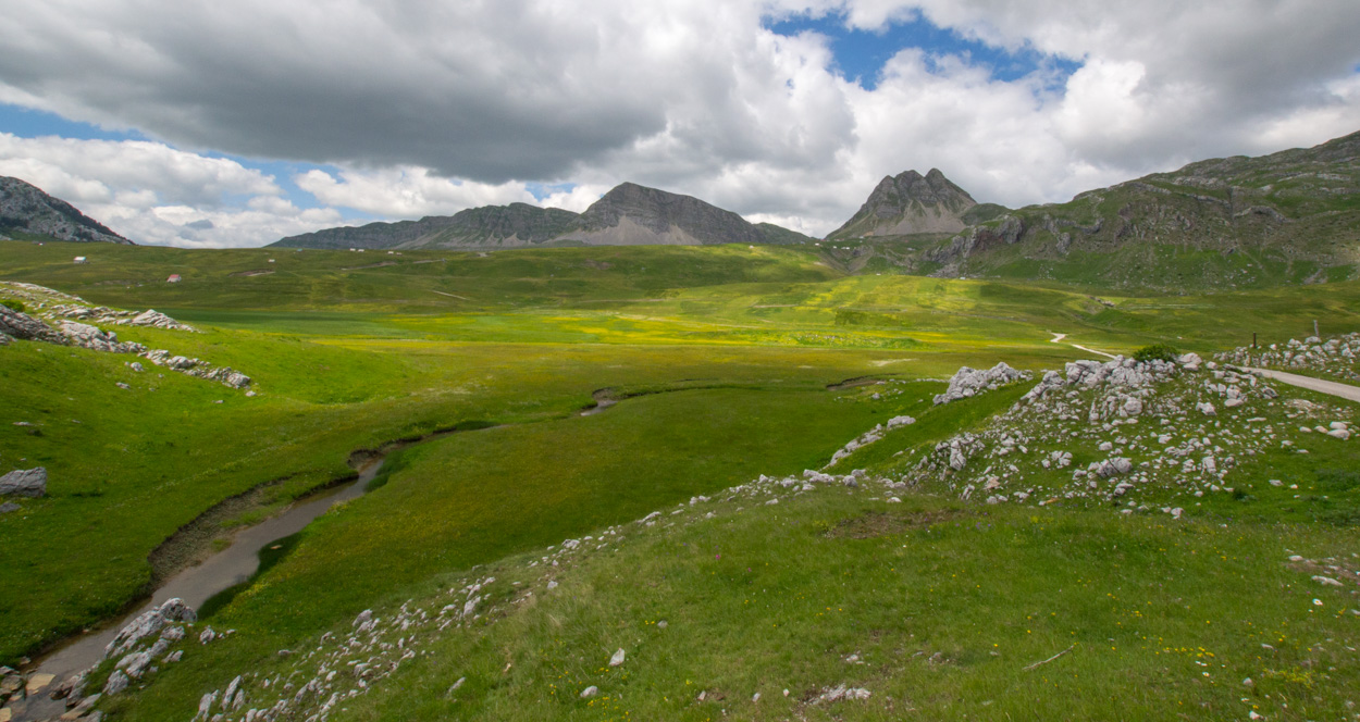
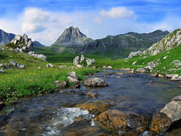
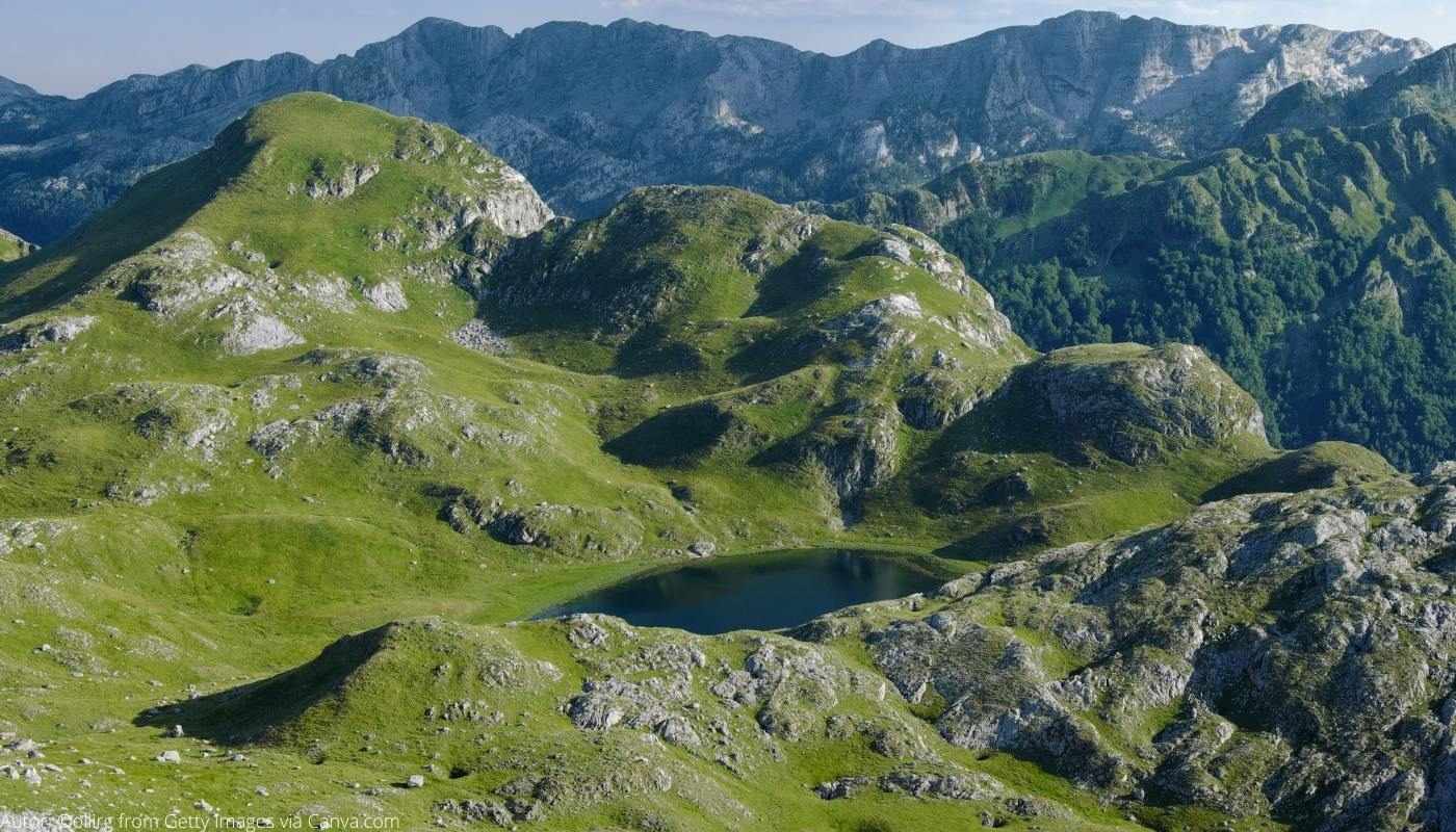
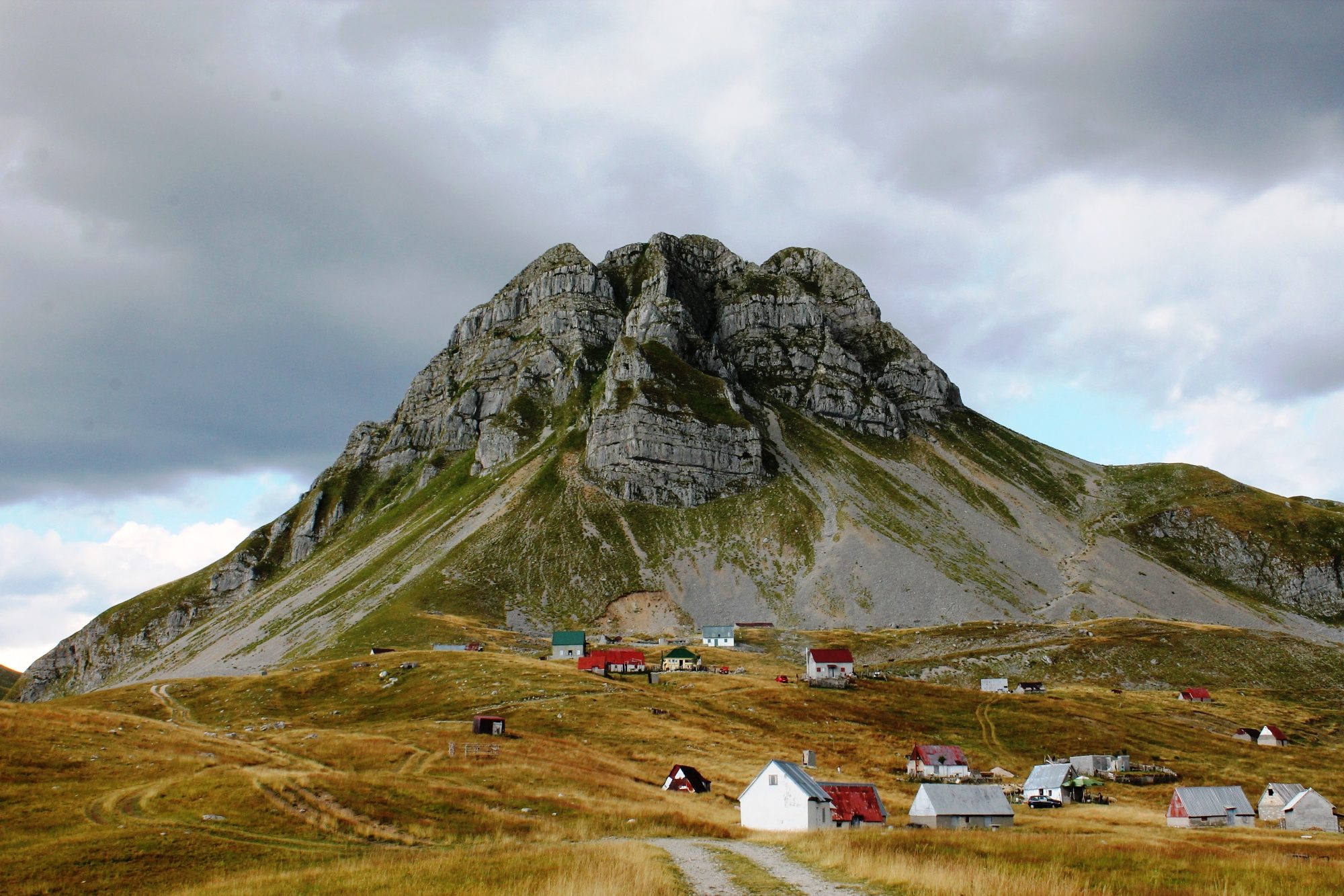
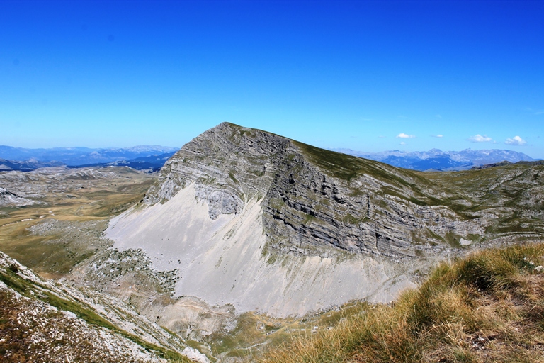
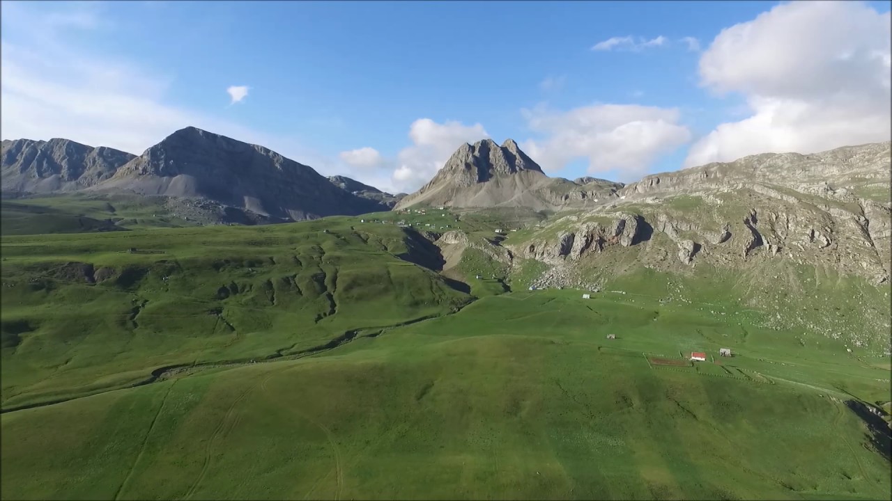
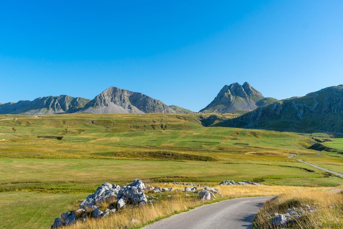
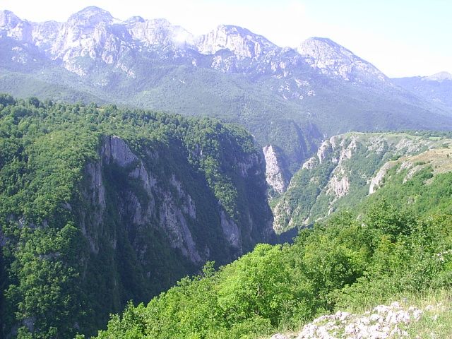
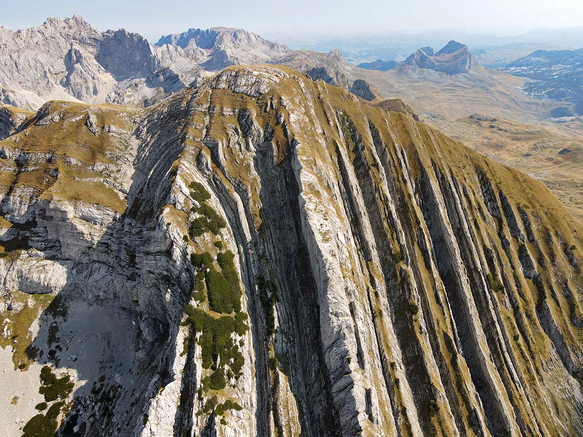
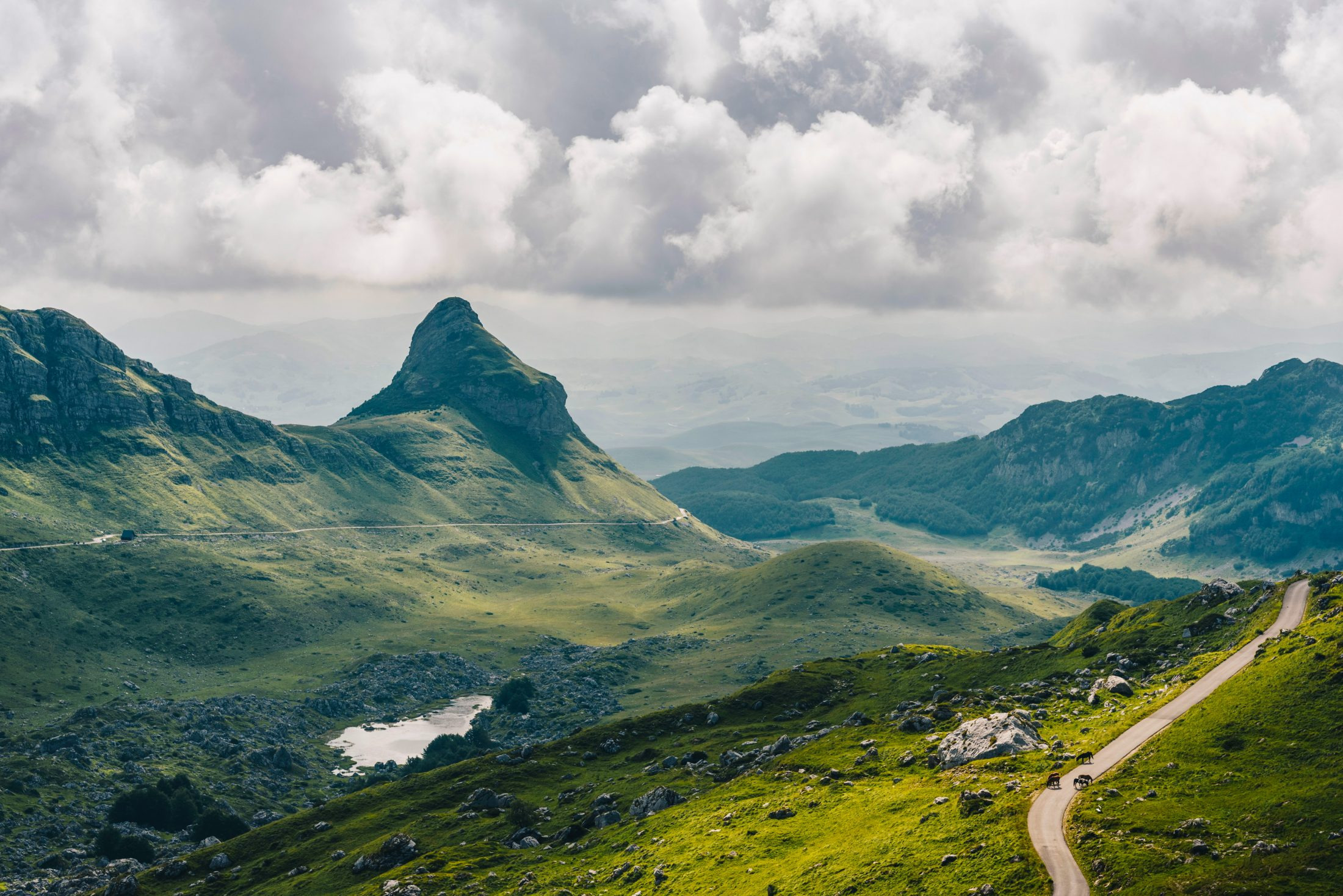
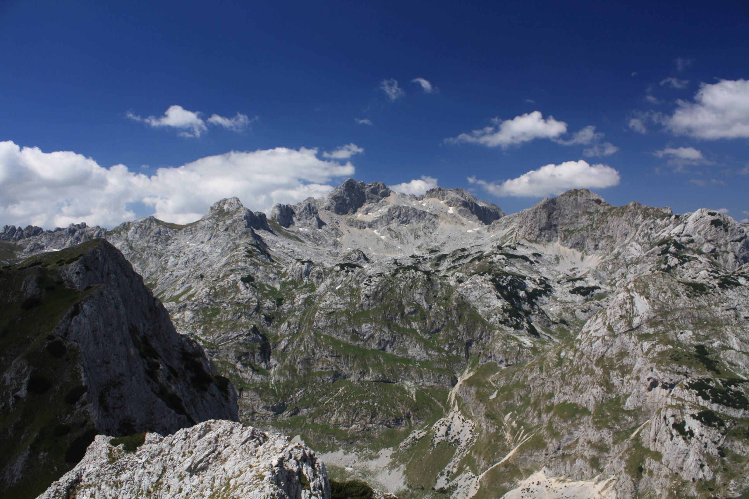
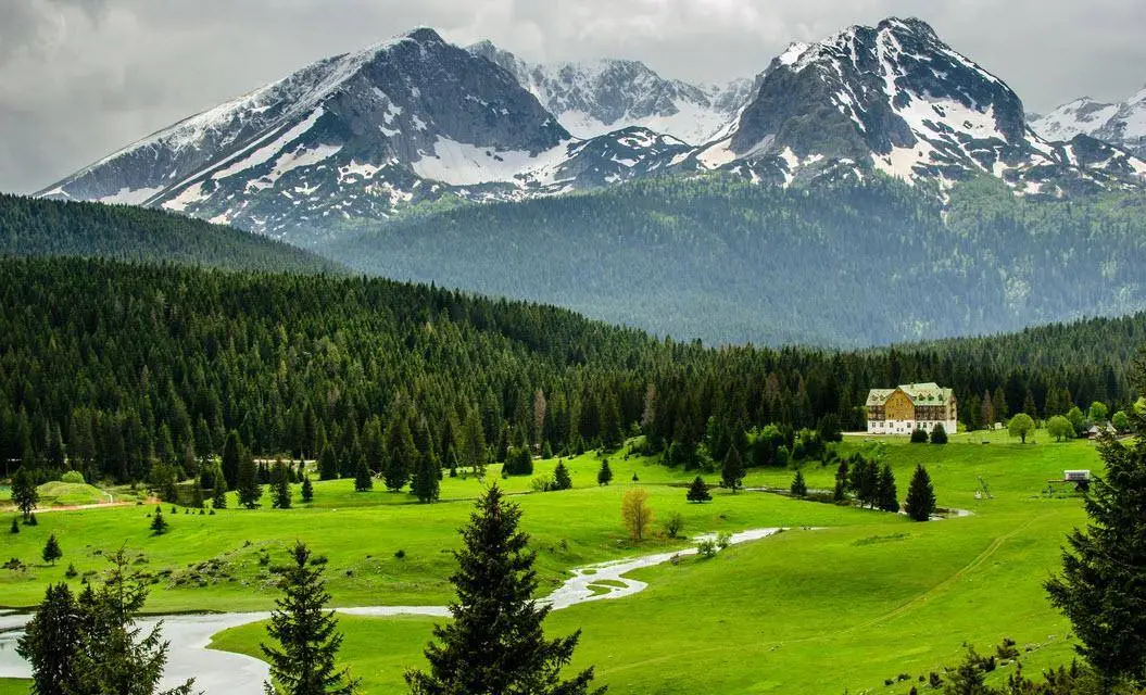
Durmitor is a stunning limestone massif located in Northern Montenegro and belonging to the Dinaric Alps or Dinarides. It is also the name of Montenegro’s largest protected area, the Durmitor National Park, which constitutes the heart of a landscape shaped by glaciers, numerous rivers and underground streams of which are embedded in the much larger Tara River Basin Biosphere Reserve. Some fifty peaks higher than 2,000 metres above sea level rise above plateaus, alpine meadows and forests, including Bobotov Peak (2,525 metres above sea level). Numerous glacial lakes, locally known as “mountain eyes”, cover the landscape. Despite its many attractions, Durmitor is best known for the spectacular canyons of the Draga, Sušica, Komarnica and Tara Rivers, the latter stands out as Europe’s deepest gorge. Durmitor is a popular tourism destination, known for superb hiking, climbing, mountaineering and canoeing opportunities. The nearby town of Zabljak is Montenegro’s primary ski resort.
Besides the extraordinary landscape beauty and the fascinating geological heritage, Durmitor National Park is also home to an impressive biological diversity. At the habitat level, a rare old-growth stand of European Black Pine deserves to be mentioned. Favored by the altitudinal gradient of more than 2,000 metres and both alpine and Mediterranean climatic influences, there are more than 1,600 vascular plants in the wider Durmitor Massif. A great percentage is found in the park and many are rare and endemic species. Large mammals include Brown Bear, Grey Wolf, and European Wild Cat. Among the 130 recorded birds are Golden Eagle, Peregrine Falcon and Capercaillie. Likewise noteworthy is the rich fish fauna, which includes the endangered Danube Salmon. The park is inhabited by farmers and shepherds, traditionally using the high-altitude meadows as summer pastures. The property is well protected and its status and international recognition have helped to prevent irreparable damage from threats, such as upstream pollution and proposed dam construction.
Nikšić
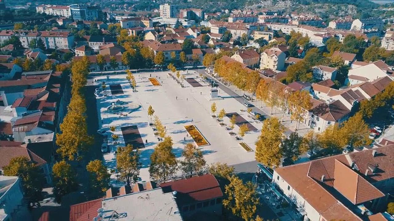
The city of Niksic is located in the central part of the country at the foot of Mount Trebjes, 50 km from Podgorica. There are many roads leading from the coast to the heart of the country. Through the city goes a road connecting Podgorica with Bosnia and Herzegovina. The surrounding area is no less beautiful than the highlands of Montenegro – there are also lakes here (Krupac, Slano, Liverovici), monumental mountains towers up (the height of Niksic itself is 630 m above sea level), and the Zeta River flows past.
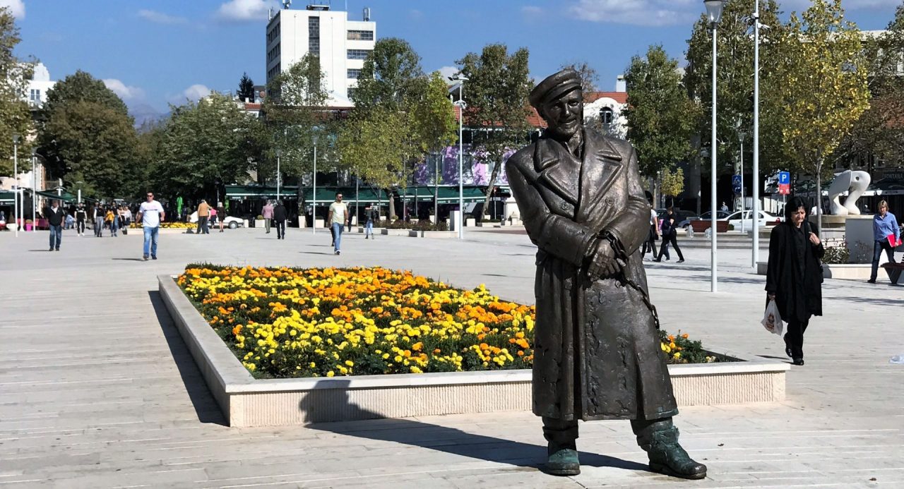
There are several interesting sights in the city that you need to visit. It is worth starting from the central square, where the streets run to the north and east, and thus form a “web”. Not far from the square there is the palace-museum of Nikola I Petrovic Njegos in the Renaissance style, in which now there is a museum of local folklore, the city park and the Freedom Square.
